
The yin and yang: Satellite and in-situ observations to monitor our oceans
- 4 September 2019
- Category: Altimetry, Events
For nearly 40 years, satellites have provided continuous observations of the world’s oceans – in time and in space – causing a revolution in ocean sciences. But in-situ measurements of the ocean – while sparse and sporadic – are as old as the first sailing ships and are of great value to science. To get a true picture of what the oceans are like, scientists need to exploit together both satellite and in-situ measurements. This is why the Copernicus Marine Environment Monitoring Service has developed a Multi Observations (MULTIOBS) Thematic Assembly Center (TAC), providing products based on satellite & in-situ observations and state-of-the-art data fusion techniques. CLS, specialist in the intercalibration of satellite and in-situ measurements, is proud to contribute to this TAC.
At OceanObs ’19 in Honolulu, Hawaii, from September 16-20th, CLS will present on behalf of its partners, a poster describing the work that has been done to incorporate multi observations offering a wide range of variables from temperature, salinity, density, currents, to nutrients, plankton and the carbonate system.
Observing the oceans
Complementary to ocean state estimate provided by modelling/assimilation systems, a multi observations-based approach is available through the Multi Observations (MULTIOBS) Thematic Assembly Center (TAC) of the European Copernicus Marine Environment Monitoring Service (CMEMS).
CMEMS MULTIOBS TAC proposes products based on satellite & in situ observations and state-of-the-art data fusion techniques. These products are fully qualified and documented and, are distribution through the CMEMS catalogue. They cover the global ocean and, physical and biogeochemical (BGC) variables. They are available in Near-Real-Time (NRT) or as Multi-Year Products (MYP) for the past 10 to 25 years.
State-of-the-art data fusion techniques
Satellite input observations include primarily altimetry but also sea surface temperature, sea surface salinity as well as ocean color. In situ observations of physical and BGC variables are from autonomous platform such as Argo, moorings and ship-based measurements. Data fusion techniques are based on multiple linear regression method, multidimensional optimal interpolation method or neural network.
MULTIOBS TAC provide the following products at global scale:
- 3D temperature, salinity and geostrophic current fields, both in NRT and as MYP;
- 2D sea surface salinity and sea surface density fields, both in NRT and as MYP;
- 2D total surface and near-surface currents, both in NRT and as MYP;
- 3D Vertical velocity fields as MYP;
- 2D surface carbon fields of FCO2, pCO2 and pH as MYP;
- Nutrient vertical distribution (including Nitrates, Phosphates and Silicates) profiles as MYP;
- 3D Particulate Organic Carbon (POC) and Chlorophyll a (Chl-a) fields as MYP.
Crucial ocean monitoring indicators
Furthermore, MULTIOBS TAC provides specific Ocean Monitoring Indicators (OMIs), based on the above products, to monitor the global ocean 3D hydrographic variability patterns (water masses and currents) and the global ocean carbon sink.
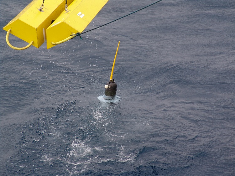
Photo credit: IFREMER
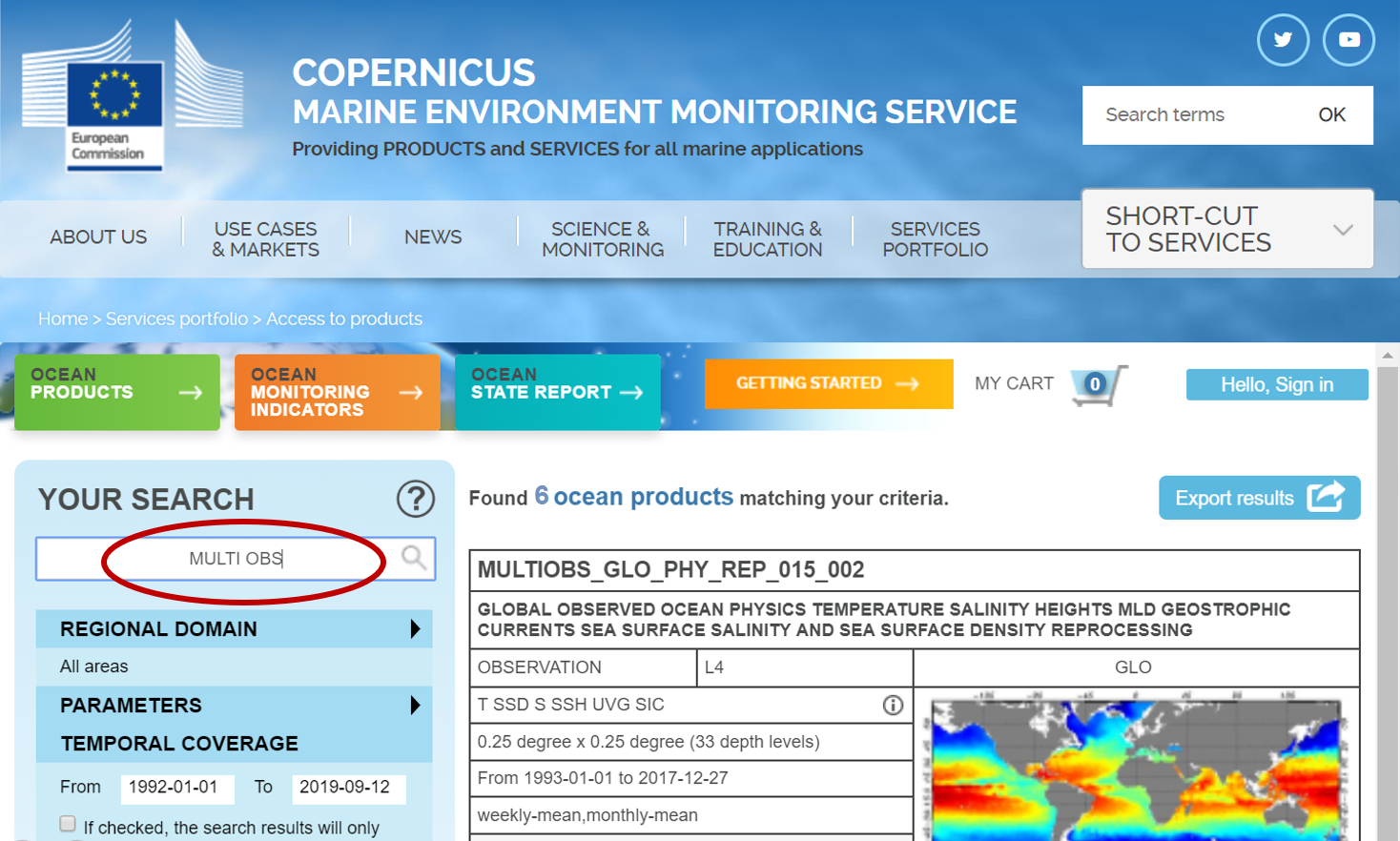
Link to MULTIOBS TAC on CMEMS website
http://marine.copernicus.eu/services-portfolio/access-to-products/